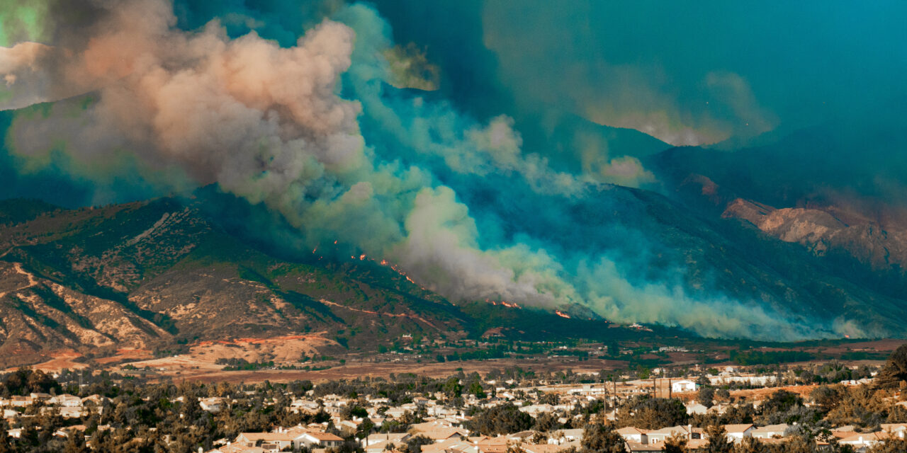
When wildfires swept across sections of Los Angeles in January 2025, firefighters and first responders on the front lines received crucial support from a team of professionals using Geographic Information System (GIS) technology. This team worked behind the scenes to help guide and direct the massive response to the devastating fires.
GIS served as a digital command center, enabling emergency teams to receive real-time updates on fire perimeters and plan evacuation routes with pinpoint accuracy. By overlaying real-time data on detailed maps, responders could rapidly adjust their strategies and position themselves for fire hotspots and safe zones.
Various apps and websites, such as FireAid.info, WatchDuty.org, and AlertCalifornia.org, utilized GIS technology to keep the public informed. Immediate access to information helped LA residents stay safe and avoid further damage during the fires.
What is GIS?
If you’re curious about GIS and how it accomplishes its various tasks, here’s a brief overview:
A geographic information system, according to the U.S. Geological Survey, is “a computer system that analyzes and displays geographically referenced information. It uses data that is attached to a unique location.”
In other words, these programs produce high-quality data that provide crucial information about the forest and rangelands within Southern California. This technology was used during the Palisades fires to keep responders and the public updated in real-time about the spread of the fires.
Preventing Future Wildfires
By leveraging these technologies, authorities can better manage current wildfires and significantly reduce the risk and impact of future ones.
GIS identifies high-risk areas by analyzing factors such as vegetation, topography, and historical fire data, allowing for targeted prevention efforts. GIS also aids in the strategic placement of firefighting resources and infrastructure, ensuring a quicker and more effective response to future fires.
Furthermore, when combined with Artificial Intelligence (AI), GIS can predict potential wildfire outbreaks by analyzing weather patterns, vegetation dryness, and other environmental factors. This enables proactive measures to be taken.
Evolving Technology

Enterprise GIS Certificate Program Sponsor Andres Benson
“GIS technology is like having a constantly updated GPS that not only shows you the fastest route to your destination but also navigates around hazards up ahead,” said Andres Benson, the GIS program sponsor at SDSU Global Campus. “It’s an indispensable tool for first responders and disaster management teams.”
Benson said GIS will continue to evolve as demands and new technological advances allow.
“The future of GIS will be as dynamic and adaptable as the challenges it continues to face,” he said. “Each time we combat a new disaster with GIS, we will learn and grow from it.”
GIS will continue to evolve from a reactive tool to a proactive one, allowing for better disaster response, faster wildfire management, and smarter, more efficient monitoring.
Make a Difference
The GIS industry was valued at $9.80 billion in 2023 and is projected to grow at a Compound Annual Growth Rate (CAGR) of 8.7% until 2030. Growing health concerns worldwide and the significant role GIS plays in managing emergencies boost its demand over this forecast period.
“Bootcamp GIS provided me with the skills and career services support to be able to connect me to my first GIS job for the federal government,” said Enterprise GIS program student Jennifer Sirirat.
If you are interested in learning more about how GIS can make a difference in this world, check out SDSU Global Campus’ Professional Certificate in Enterprise GIS to kickstart your fulfilling career in the geospatial industry.